Discover, analyse and plan water across land
IrroFlow is a water discovery and management platform designed to help landholders, planners and consultants better understand how water behaves across land. By combining mapping, terrain data and practical water insights, the platform supports smarter planning and more confident land decisions.
How the water discovery and management platform helps
IrroFlow helps users:
- Visualise surface water flow and drainage patterns
- Identify high and low points across a property
- Understand catchment behaviour and runoff direction
- Support dam planning and water harvesting decisions
- Improve early-stage land and water assessments
By using a water discovery and management platform, users reduce risk, improve planning accuracy and gain confidence before investing in earthworks or water infrastructure.
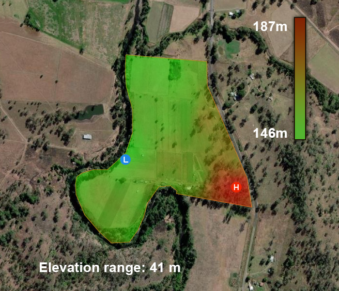
Digital Terrain Model
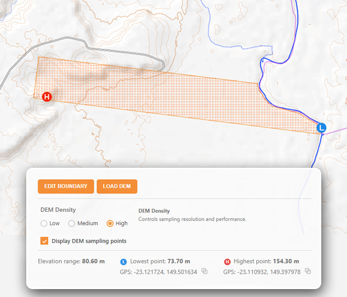
Instant Elevation Analysis
Property Search Engine
-
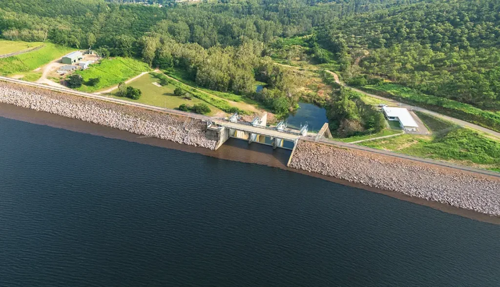
Dam Storage Levels integrated
This platform now integrates live dam storage data sourced directly from Seqwater, providing an up-to-date snapshot of water availability across South East Queensland. The data is collected, normalised, and displayed in a consistent format, making it… Read More
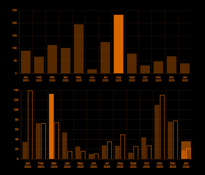
Dam Storage Levels – Historical Trends
These charts show how dam storage levels across South East Queensland have changed over time, highlighting seasonal patterns and longer-term trends based on recorded historical data.
Dam Storage Levels
Live snapshot of current dam levels across South East Queensland, shown as a percentage of capacity using the latest available data.
| Cooloolabin | |
| Enoggera | |
| Ewen Maddock | |
| Hinze | |
| Lake Macdonald | |
| Lake Manchester | |
| Maroon | |
| North Pine | |
| Somerset | |
| Wivenhoe | |
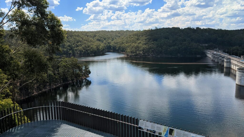
Clear water insight for land and planning decisions
Bring together official spatial data, rainfall catchments, topography and water dynamics to inform decisions for farms, properties and planning projects.
>900+
Parcels analysed
85,000+ ha
Land area assessed
3.2B+ L
Estimated rainfall yield
99.5%
Calculation reliability
Understand how water behaves on your property
Explore rainfall, terrain and catchments, assess water flow and storage potential, and turn land data into practical insights for planning, farming and water management.